2.2. Map resources
In the scientific data management system of the Selenge River Basin of Mongolia, the data is categorized into six categories, respectively: physical geography, agriculture, land surface, ecology, disasters, and other. As shown in Fig. 2.4 .
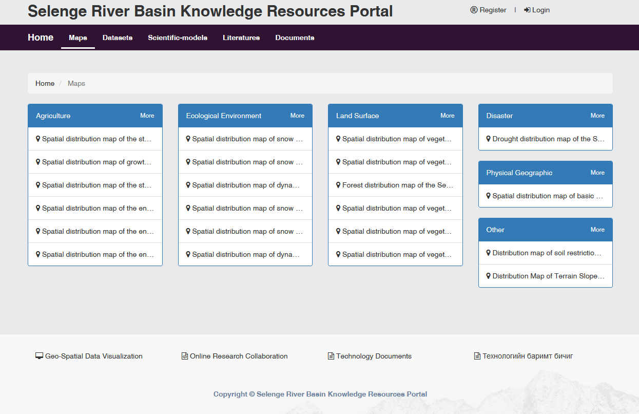
Fig. 2.4 Map data classification
After the “more” button of the title of a data category is clicked , there will bring up a list of the entire categories. On the right side of the list, the entire list of data categories and the amount of data under each categories will be displayed, as Fig. 2.5 shown.
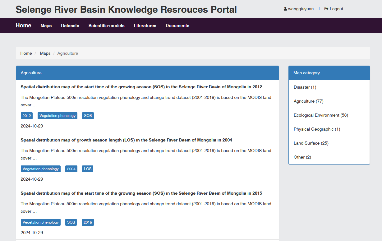
Fig. 2.5 Data list
Click on one of the data to display the relevant data content. The information includes data map display (map can zoom in and/or zoom out ), data introduction, location(latitude and longitude), maximum and minimum zoom levels, current zoom level and a link to this data. On the right side of the data content display is the entire list of data categories and the amount of data under each category, as Fig. 2.6 shown.
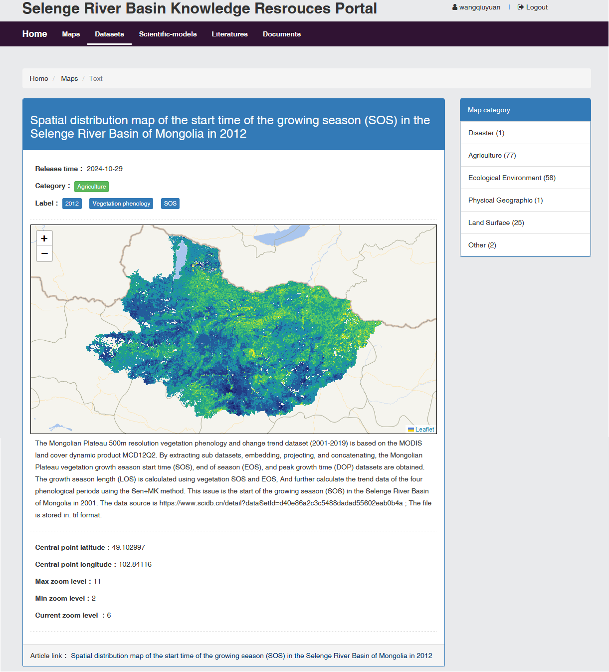
Fig. 2.6 Map data content